Subsurface Utility/Service Location
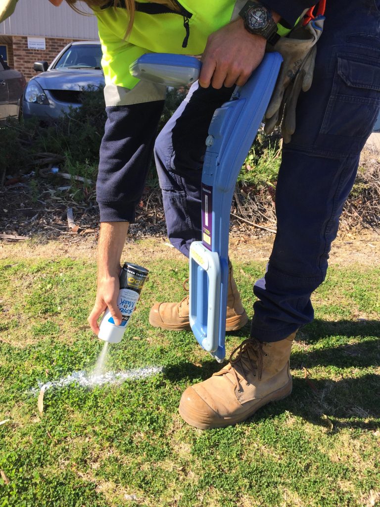
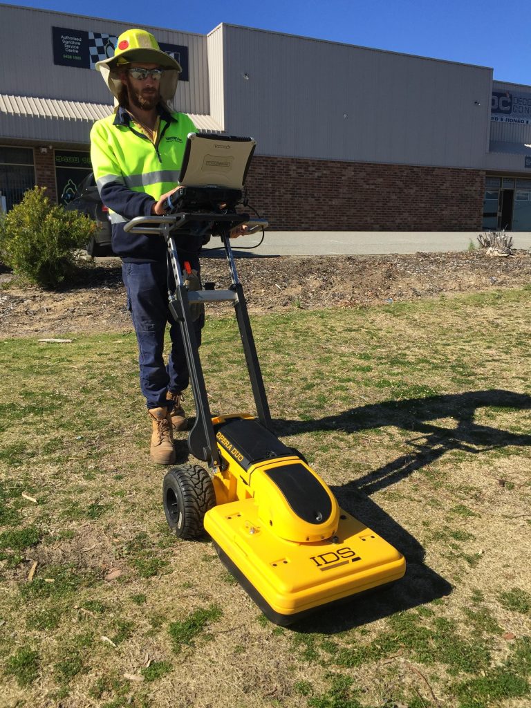
TerraVac’s Utility Locators are able to locate buried services through consultation with DBYD maps, onsite tell-tale signs of services (service pits, control cabinets etc.), EMI location (ElectroMagnetic Induction), GPR (Ground Penetrating Radar) and Potholing via Vacuum Excavation to find the services you are looking for. Vacuum Excavation and service location go hand in hand, to locate, pothole and prove the exact location of underground utilities, saving our Clients money and time. In visually establishing the identity and location of the service, it substantially eliminates the risk of striking the underground assets and assists when planning projects.
Keep in mind that certain Service Providers require Potholing (Class A Locate) when working in the vicinity of their service since maps can be very inaccurate, or may be missing entirely.
TerraVac Utility Provider Certifications/Approvals:
- Telstra Approved Plant Locator (APL)
- ATCO High Pressure (HP) Supervision
AS 5488-2013 CLASSIFICATION OF SUBSURFACE UTILITY INFORMATION (SUI)
This Standard provides a framework for the classification of subsurface utility location and attributes information in terms of specified quality levels. The objective of this Standard is to provide utility owners, operators and locators with a framework for the consistent classification of information concerning subsurface utilities. Project risks related to underground utilities can then be properly managed.
A quality level describes the amount and accuracy of information that is collected or held on a subsurface utility. There are four quality levels—D, C, B and A.
Class A: Information is the highest possible level of accuracy and is obtained by exposing the underground utility using a non-destructive excavation (potholing) technique. The vertical information for this locating method is to the top or shallowest part of the located service. The 3D location is recorded by survey as an X, Y, Z coordinate.
Class B: Information is collected by designating the horizontal and vertical location of underground utilities by using electromagnetic pipe and cable locators, sondes or flexi-trace, ground penetrating radar and acoustic pulse equipment. This is the most common form of utility locating and although an X, Y and Z axis can be established it is not always entirely accurate due to differing electromagnetic fields, soil conditions and multiple banks of cables affecting the locating signal.
Class C: Information is collected by correlating the survey of visible utility surface features such as marker plates or water hydrants and acquired dial-before-you-dig plans to “draw” a string which shows the approximate position of services. This method does not usually show multiple banks of cables and does not always show three-dimensional information.
Class D: Information is the most basic level of utility locations using only information based on existing Dial-Before-You-Dig plans and by measuring boundary offsets etc. This method of utility locations should always be treated as an indication of the presence of a service only and should not be used for design.
Get an Estimate
"*" indicates required fields
Contact Details